Land Status & Claim Staking Services
Delivering complete land status intelligence and rapid staking documentation to support efficient mineral acquisition. Whether you're evaluating new ground or locking in large-scale blocks, our services combine spatial precision, regulatory compliance, and lightning-fast document production.
Complete documentation in 24-48 hours
Know Before You Go!
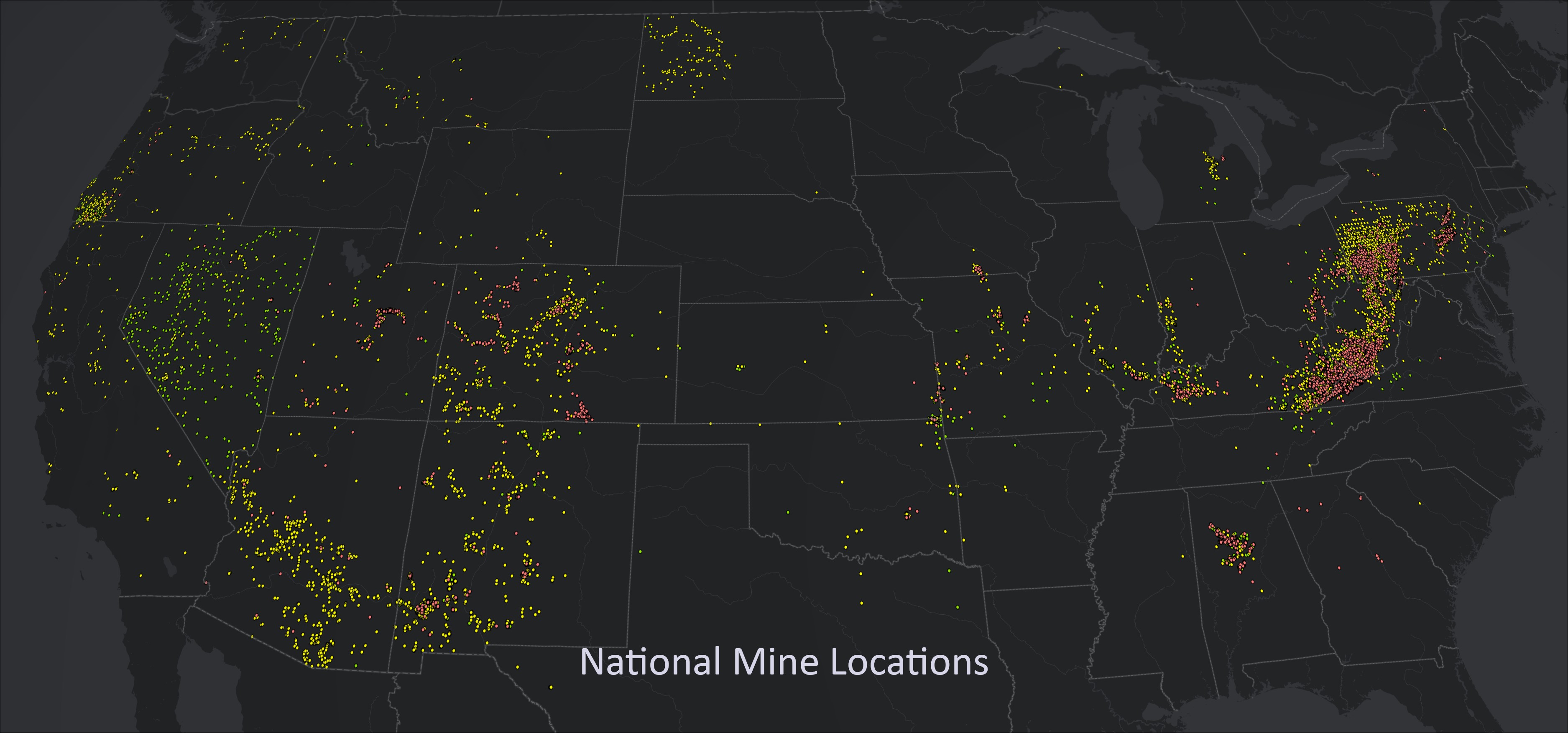
Conducting complete land status research before staking is the most critical step to de-risk your project. Understanding the legal framework ensures you adhere to regulations, avoid potential disputes with prior claimants, and protect your investment from the start.
Why Land Status Research is Critical
Legal Compliance
Federal lands are governed by complex regulations. Ensuring compliance with the Federal Land Policy and Management Act (FLPMA) is paramount to avoid penalties or claims of trespass.
Avoiding Conflicts
Thorough research minimizes the risk of staking claims in areas that are already claimed, leased, or designated for other uses, such as conservation or recreation, preventing costly legal battles.
Environmental Diligence
Many federal lands are subject to environmental protection regulations. Land status research allows miners to assess whether additional permits are required and to understand their responsibilities.
Protecting Investment
Staking a mining claim involves significant financial resources. Our research helps ensure that these investments are secure, enhancing the chances of sustainable profitability and asset value.
Our Full-Service Staking Process
1. Pre-Field Analysis
We start by performing comprehensive land status research using BLM LR2000 records, historical plats, and our proprietary GIS data to confirm the target area is open to mineral entry.
2. Field Staking & Monumenting
Our experienced field crews physically stake the claim corners on the ground, erecting monuments and posting notices in full compliance with federal and state regulations.
3. Documentation & Filing
We prepare and file all necessary location certificates and maps with the appropriate BLM state office and local county recorder, providing you with a complete, recorded document package.
Deliverables & Documentation
- Land status maps with federal surface and mineral ownership overlays
- Master Title Plat and LR2000 overlays for federal lands
- Staking maps with claim block layouts and monument positions
- GPX files for GPS field navigation
- Coordinates spreadsheets for each claim corner
- Jurisdiction-compliant location certificates, prepared for filing
- Corner cards prepared for monumenting and filing
- A final report summarizing all actions taken and documents filed
Ready to Stake Your Claims?
Let us handle your land status research and claim staking with speed and precision.
Request a QuoteFull-service staking with 24-48 hour documentation turnaround